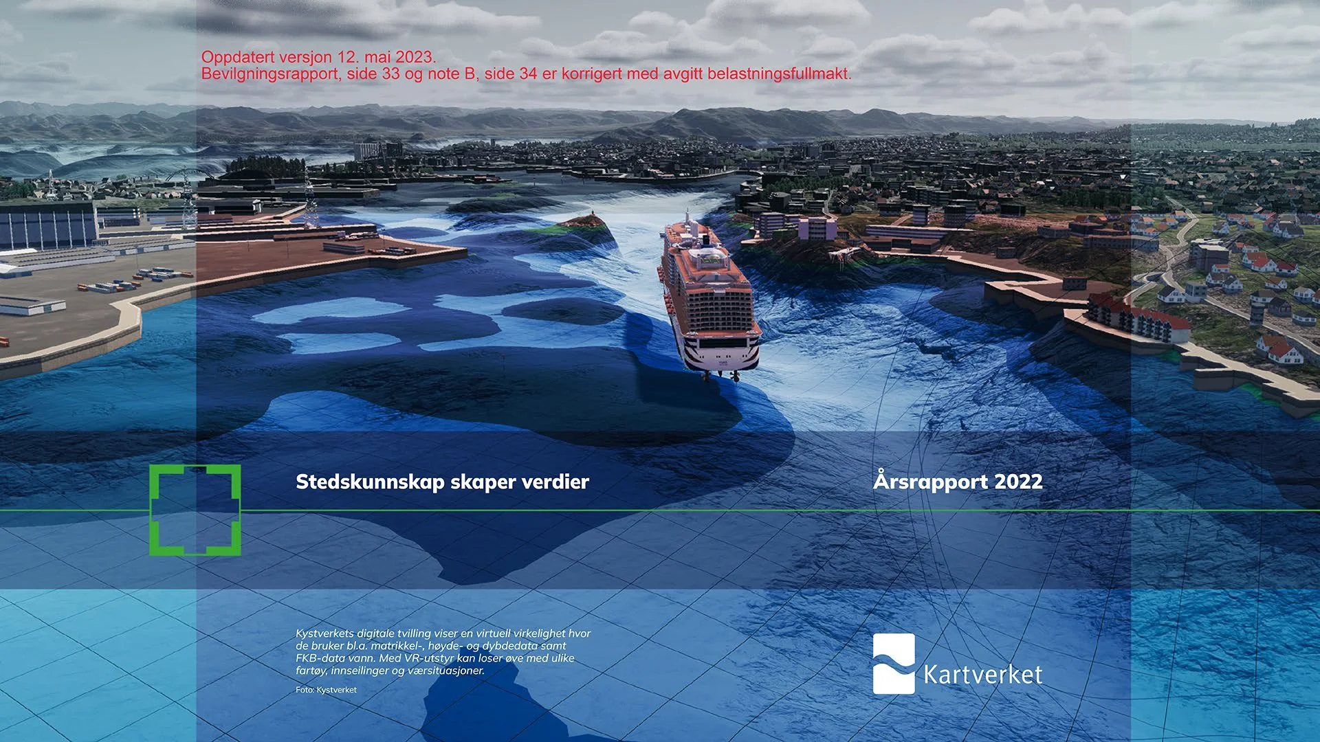
Front page of Norwegian Mapping Authority annual report for 2022.
We are very proud to be on the front page of the annual report of Norwegian Mapping Authority. The image features our digital twin model of the entire Norwegian coastline, produced for the Norwegian Coastal Administration using our in-house developed algorithms to produce the dynamic geo-database.
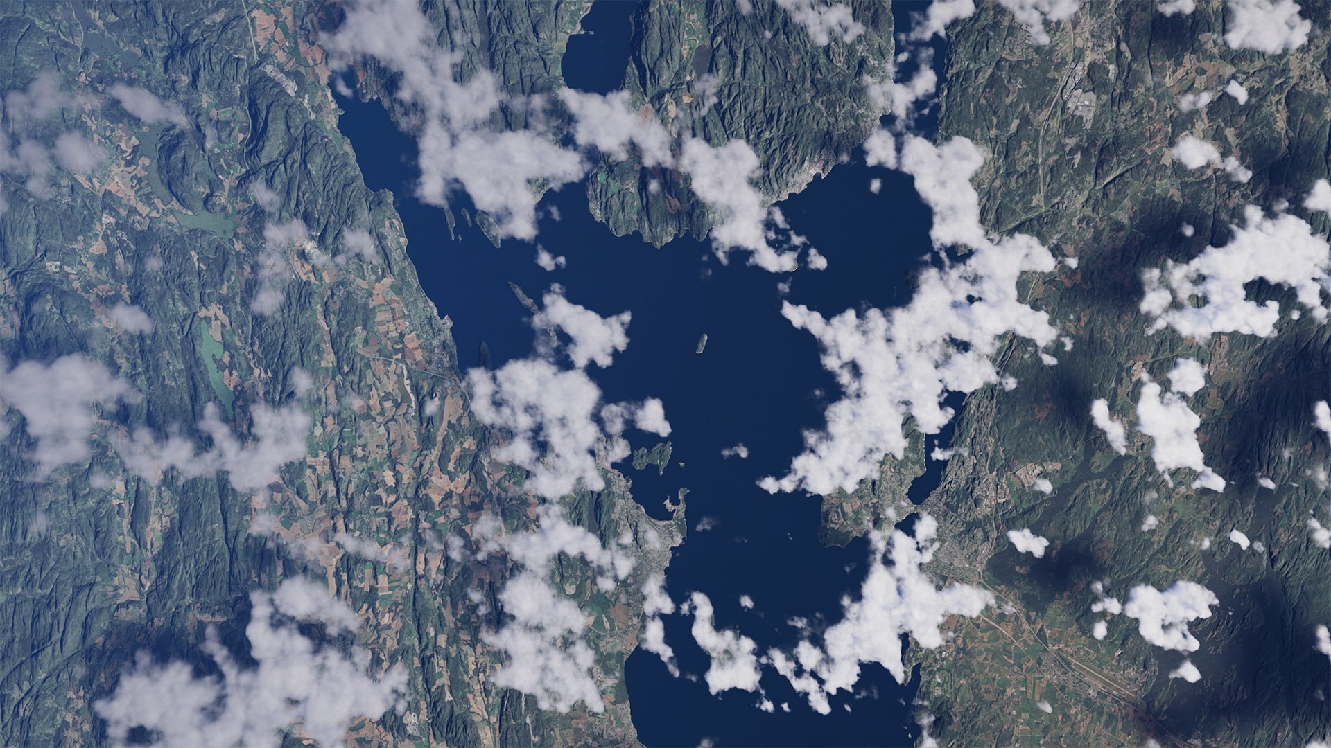
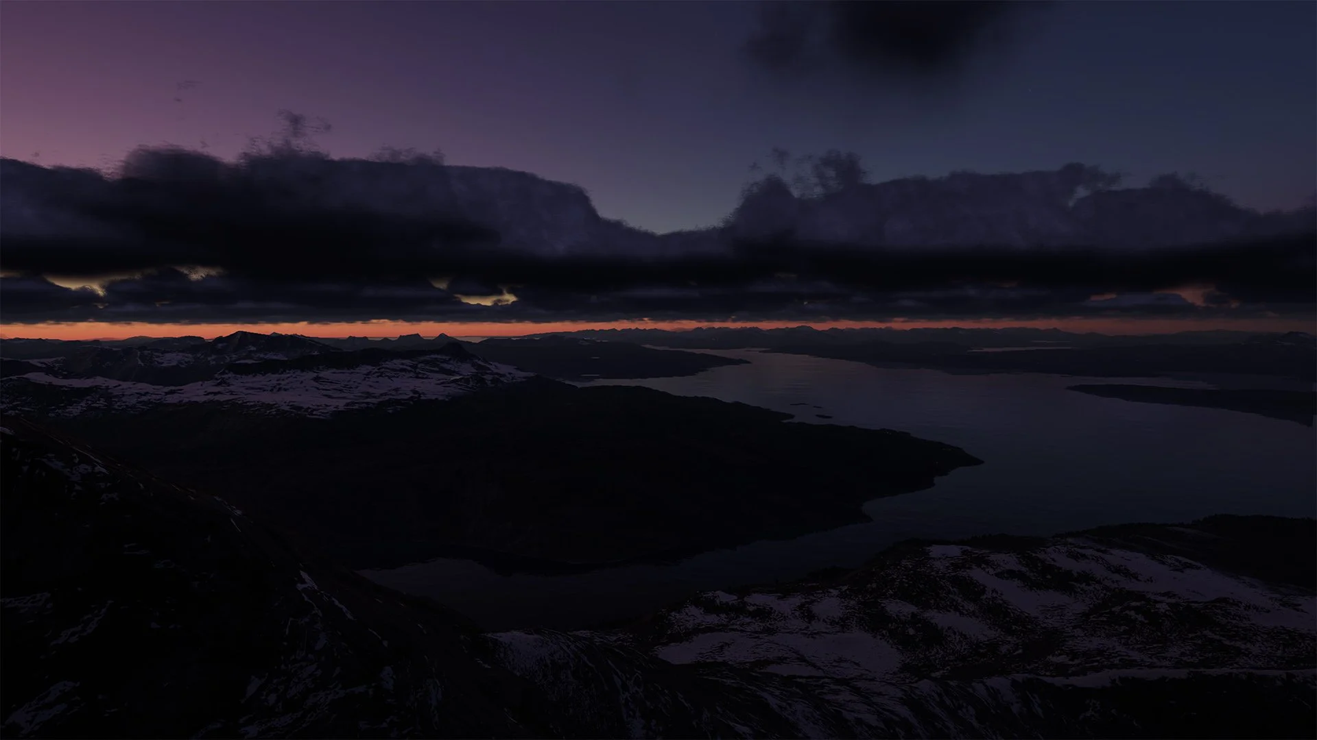
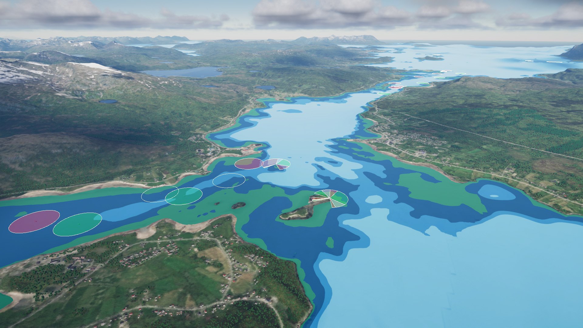
Our fully automated dynamic geo-database system utilizes the ideal data sources for different locations, generating content of the highest level of detail and visual quality (see images below) - at both near and far distance. The system is dynamic and scalable with technological advances within computer graphics, enabling content to continuously improve in fidelity over time. Dynamic re-generation functionality ensures that you will always train in an up-to-date, accurate and relevant environment.